Submitted by Ian Schutt, outdoors enthusiast
Maps. From a young age, I was always staring at the globe in my room, discovering little cities and dreaming about what they were like in the days before Google could show me in an instant. I still enjoy reminiscing about creating fascinating elaborate itineraries throughout Europe, and very unrealistically ending up in Beijing – without taking a plane.
Around the age of 11, I started snowboarding. Growing up in Kansas, I only got to go on the annual church ski trip over Martin Luther King weekend to Winter Park. Before every trip, I’d hop on my parent’s computer and look up Winter Park’s trail map and study it for hours. So much so that by the time we had arrived, I knew how to get pretty much everywhere from any place on the mountain. For example, if you need a quick stop for a bowl of chili and you’re going up the Eagle Wind lift, I could have you in front of the hot chili bowl in 15 minutes by taking Lower Egress to the Pioneer lift and boom – you’re inside the Sundance Chili Hut.
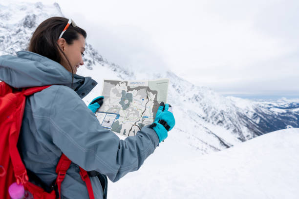
After moving to Colorado, I started looking at a lot more trail maps with the same fascination, but now I was seeking those hidden spots. I also started to notice that most of these trail maps retain the same artistic style, and there’s a good reason why.
James Niehues is one of the – if not the – greatest ski resort map-maker! All his maps are still created by hand! I’d wager that almost every skier or snowboarder has laid eyes on his masterpieces for direction. Or fascination. His journey to creating maps for ski resorts began in 1988 when he was commissioned by Steamboat and Vail to paint their trail maps. Niehues’ process is rather simple: He begins by taking aerial photos and then “trying to paint the runs as they appear while you’re on the mountain.” This is why the runs on the trail map are often much larger than the actual run itself. Niehues says his biggest problem is depicting a three-dimensional landscape on a one dimensional space. “First I lay out all the lifts, make sure that they’re relative and that their base is all down-page and vertical.”
Examining the maps after understanding the process that Niehues employs makes them even more astonishing. Down to the last tree, Niehues carefully calculates color, shading, the position of the sun and steepness to give the viewer the best and most descriptive view of the mountain.
After 33 years, Niehues scaled back his production after an impressive career of painting 255 maps for over 175 ski resorts throughout the world! In an interview with Colorado Country Life Magazine, he refers to himself as “semi-retired” and plans on only taking a few projects each year. He grew up on Colorado’s western slope, attended Colorado Mesa University, and currently resides just down the road in Loveland with his wife.